The Geospatial Revolution - Past, Present, Future

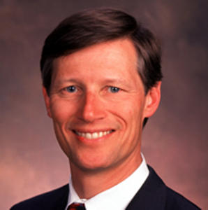
Dr. Carl Reed
Member, National Geospatial Advisory Council, and
Retired CTO and Executive Director Standards Program, Open Geospatial Consortium
50 Years of Geospatial Adventures
Fall 2019 will be my 50th anniversary working in the geospatial technology domain. Time flies when you are having fun! Over the decades I have watched and participated in various activities and trends that shaped our industry. Based on my experience, I would like to share some insights, anecdotes, and prognostications with you. For example, we have all heard of client server architectures but how many of you believe that this architecture has been around for decades and is still with us today marketed as the cloud or more recently edge/fog computing? Or how about geospatial predictive analytics being something new and reliant on big data but has been around for centuries. Or that Roger Tomlinson loved to play tennis. While geospatial technology is constantly evolving, the fundamental concepts are no different than 50 years ago. If anything, the issues surrounding geospatial technology and its use are significantly more complex and troubling than ever before. Thus, I would like to conclude my talk with observations regarding threats to not just our industry, but everyone who uses geospatial technology.
May 23 - Afternoon Keynote

Jarlath O'Neil-Dunne
Chair, Board of Directors, AmericaView, and
Director, University of Vermont Spatial Analysis Laboratory
For years we have used remotely sensed data to map features on our landscape. But let’s face it, the data never had a high enough spatial resolution, it was not acquired at the appropriate time, and was simply too expensive. Drones are changing that, providing us with new ways to map, monitor, and measure objects. Will, as some predict, drones become a tool that will revolutionize our profession, or is the technology being oversold? This presentation will go beyond the hype, using real-world examples to dive into the capabilities and limitations of drones, along with providing insight into the challenges of incorporating this technology into geospatial workflows.
May 24 - Morning Keynote

Dan Ross
President-Elect, National States Geographic Information Council (NSGIC),
Director, Minnesota Geospatial Information Office, and
Minnesota Chief Geospatial Information Officer
Collaboration Across the Nation (YouTube)
Are you seizing opportunities to collaborate with colleagues and organizations across the nation? Those opportunities do exist - but knowing about them and being prepared to participate in them are critical factors in being able to take advantage of them. In this presentation, National States Geographic Information Council (NSGIC) President-Elect Dan Ross will share how NSGIC works across state boundaries to identify opportunities for all sectors to collaborate. Hear about activities underway that may not only impact you, but also provide opportunities for you to get involved.
May 24 - Lunchtime Keynote
