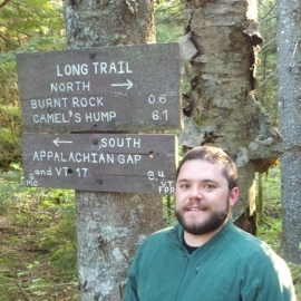
Keith Pelletier, MS

Research Scientist
University of Minnesota
Landscape Change Along the Great Lakes Coastal Region
Abstract: Wetlands are essential for recreation, habitat, flood mitigation, and reducing pollution in the Great Lakes basin. Existing wetland inventories are outdated, inaccurate, and frequently underestimate the extent of these ecologically significant features. Object-based image analysis (OBIA) and recent advances in the availability of high-resolution stereo satellite imagery and surface elevation mapping approaches have created new opportunities for mapping and monitoring landscape change within the basin. In this presentation, we cover OBIA approaches that leverage high-resolution remotely-sensed data to map and monitor changes along the coasts of the Great Lakes.
Additional authors: Dr. Joseph Knight, Dr. Jennifer Corcoran, Brian Huberty, Jim Klassen and Trevor Host
Bio: Mr. Pelletier is a research scientist in the Department of Forest Resources at the University of Minnesota. Prior to joining UMN, he worked in the Spatial Analysis Lab at the University of Vermont, where he earned a Master's degree and taught GIS and remote sensing classes. Mr. Pelletier's research is focusing on developing new classification and assessment methods for object-based image analysis.
Contact Info:
