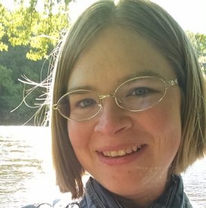
Jennifer Corcoran, PhD

Remote Sensing Program Consultant
Minnesota Department of Natural Resources
High Density LiDAR Acquisition for Enhancing Forest Inventory
Abstract: Using high density single photon lidar and simultaneously acquired 4-band photography, coupled with a dense network of full stem map forest inventory plots, a less expensive and highly robust inventory of the forest land base is being developed. Through a pilot study across a diverse ecological landscape with multiple ownerships in Northern Minnesota, this research will assess methodology, accuracy, costs, and ultimately evaluate the anticipated extension of this methodology statewide. In this presentation, attendees will be briefed on our approach and our preliminary results will be shared.
Bio: Jennifer Corcoran is the Remote Sensing Program Consultant in the Resource Assessment Program in the Division of Forestry at the MN DNR. Her work focuses on aerial photography and lidar acquisitions, stereo image processing, forest disturbance and hydrologic feature mapping, as well as managing many small projects. She received her undergraduate degree from the Evergreen State College; her M.S. degree with a Minor in GIS from the UMN in the Climatology track in the Soil, Water, and Climate Dept; and her PhD degree with a Minor in Water Resource Science from the UMN in Natural Resource Science and Management program in the Forest Resources Department.
Contact Info:
Work: 651-259-5898
