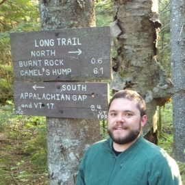
Keith Pelletier, MS

Research Scientist
University of Minnesota
Forest Metric Mapping in Northern Minnesota
Abstract: Forest management using remotely-sensed data has benefited from recent advances in our ability to acquire optical and surface elevation data from airborne and satellite platforms. Integrating high-resolution optical and surface data enables us to extract detailed metrics on forest canopy extent and vertical structure. In this presentation, we will compare analyses for mapping forest metrics in northern MN using point clouds and surface models derived from three different sensors, linear-mode lidar, single photon lidar, and photogrammetry. Attendees will learn more about these datasets, approaches for generating surface models, and the results from our analyses.
Additional authors: Dr. Joseph Knight, Dr. Jennifer Corcoran and Trevor Host
Bio: Mr. Pelletier is a research scientist in the Department of Forest Resources at the University of Minnesota. Prior to joining UMN, he worked in the Spatial Analysis Lab at the University of Vermont, where he earned a Master's degree and taught GIS and remote sensing classes. Mr. Pelletier's research is focusing on developing new classification and assessment methods for object-based image analysis.
Contact Info:
