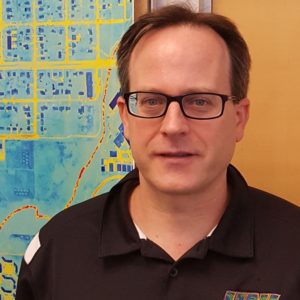
John DeGroote, MS

Director
GeoTREE Center - University of Northern Iowa
Workshop: Introduction to Python/ArcPy for Automating Geoprocessing and Map Production in ArcGIS
Abstract: Intermediate to advanced GIS users often find a need to automate data management, processing, analysis, or visualization tasks. This Basic Python workshop will introduce the Python language and give an introduction as to how it can be used in automating tasks in ArcGIS Desktop software (with some mention of other software such as QGIS). The workshop will introduce basic Python programming constructs such as variable, logical conditions, and looping. This session will also introduce ArcPy, the Python library that allows access to ArcGIS functionality though Python. The attendee will get the opportunity to try simple geoprocessing steps using ArcPy.
Bio: John has served as the GeoTREE Center Director since December of 2012 while he previously served as a (Senior) Research Associate from 2006-2012. He oversees all training, research, education, and extension efforts of the Center. He has more than a decade of professional experience applying geospatial technologies to a wide variety of issues. He has worked with people across many disciplines and has developed and presented numerous geospatial technology workshops. John also teaches one class per semester in the Geography Department. He has a BS in Geography from the University of Iowa and a MS in Natural Resources from the University of Wisconsin Stevens Point.
Contact Info:
240 Innovative Teaching and Technology Center
Department of Geography
University of Northern Iowa
Cedar Falls, IA 50614-0406
Work: 319-273-6158
