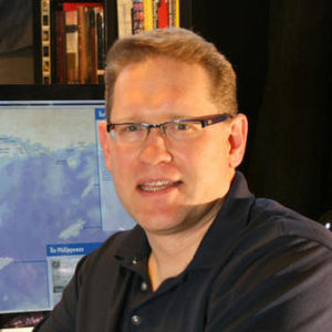
Geoffrey Maas, MURP, GISP

MetroGIS Coordinator
Metropolitan Council
The Mystery of the Address
Abstract: Addresses are both everywhere and at the same time seemingly ‘invisible’. They are vital for numerous functions of government and business as a locational tool in GIS and increasingly for use in NextGen9-1-1 applications. This presentation will provide an overview of the work and challenges of translating various kinds of addresses into data that can be consumed in geospatial applications, exploring the unique terminology they use and will highlight some examples of how obstacles can be defined and overcome in translating address data from the ‘real world’ to the geospatial data realm.
Bio: Geoff Maas is the MetroGIS Coordinator at the Metropolitan Council. MetroGIS is an award-winning, inter-agency initiative which brings together partners in local, regional, state and federal government as well as interests in the non-profit, utility, real estate and academia to maximize their investment in GIS through data sharing, defining needed datasets, developing data standards and working on inter-jurisdictional projects. He has 20+ years of experience in the fields of planning, GIS, cartography and information design having worked in the private, public and non-profit sectors in the states of Wisconsin, Arizona, Louisiana and Minnesota. In addition to working in GIS and planning, his research and professional interests include urban history, information policy, information design, graphic arts and cartography. He holds a Bachelor of Arts in Geography from the University of Wisconsin-Eau Claire and a Master of Urban and Regional Planning from the Humphrey School of Public Affairs.
Contact Info:
