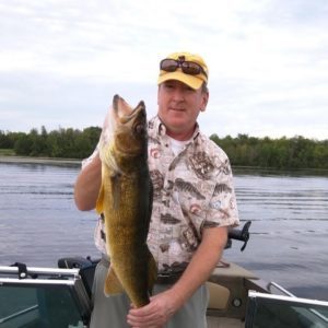
Brian Huberty, MS

Remote Sensing National Leader
U. S. Fish & Wildlife Service
The Great Lakes Remote Sensing Collaboration Project
Abstract: This presentation will highlight an international, collaborative, remote sensing approach for the Great Lakes Basin which will more accurately, characterize changes over time at a sub-meter scale using a variety of sensors.
Our long-term challenge is how to integrate approaches across borders to provide systematic daily multi-sensor views of the Great Lakes Basin. More importantly, how do we address cross border collaboration? This presentation will highlight both the project's technical and cooperative approaches.
Bio: Brian Huberty is the lead remote sensing scientist for the U.S. Fish and Wildlife Service, Department of Interior. Mr. Huberty has B.S. and M.S. degrees from the University of Minnesota, College of Natural Resources specializing in geospatial, resource inventory systems. He is an ASPRS Certified Remote Sensing Scientist. Over the last three decades, he has applied remote sensing and geospatial assessment technologies for the Minnesota Department of Natural Resources, USDA Forest Service, USDA Natural Resources Conservation Service and U.S. Geological Survey. He owns a drone and an airplane but not a satellite…yet!
Contact Info:
5600 American Blvd Suite 990
FWS R# Ecological Services
Bloomington, MN 55437
